A short but steep climb with some difficult stretches to the east rim of Oak Creek Canyon. The signed trailhead is on the right (east) side of the road 100 yards north of the parking apron referred to under "Access" below. The trail begins as a level path heading north, then crosses a shallow drainage and begins a moderately steep, zig-zag ascent beneath a telephone line in partial shade. After climbing 550 feet in less than .5 miles, it bends to the east and levels out on the top of a finger ridge that runs from the east rim of the canyon. At .6 miles, the trail passes beside a picturesque reef of rock with several "windows". Soon, the trail resumes its steep climb on a narrow ridge.
There are nice views over the West Fork area of the canyon to the west and of a deep chasm to the east. the trail levels off briefly at .8 miles, then begins a steep climb in the full shade of a mixed conifer and oak forest to the top of the east rim. This portion of the trail follows an old telephone line with only some post stubs remaining. The trail is difficult to follow in places but there are some cairns. The trail ends at a large rock cairn at 1.2 miles. Here, at the rim's edge, there are views through the trees of the cliffs to the north. Return by the same route. This hike is suitable in summer, but do not attempt in winter if there is any snow on the slopes.
Rating: Moderate
Hiking Time: Allow 2.5 hours roundtrip
Uses: Hiking only; trail not suitable for bicycles or horses
At a Glance
Open Season:
Year 'round
Usage:
Light
Closest Towns:
Sedona, AZ
Operated By:
Red Rock District - 928-203-2900
General Information
Latitude: 34.990087
Longitude: -111.737315
Length: 1.2 miles
Elevation: 5371 at trailhead
Accessibility:
Directions:
USGS Map: Munds Park
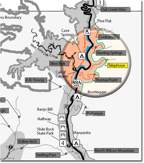
Location: 18 miles south of Flagstaff in scenic Oak Creek Canyon.
Access: From the junction of Routes 89A and 179, take 89A north 10.9 miles to milepost 385.1, .4 miles beyond the West Fork parking area (Call of the Canyon). Park on the wide apron on the right beside a 20' high cliff.